By using our website, you agree to our Privacy Policy.

Planungsgemeinschaft LaReG

Habitats, animals and plants

IMG1

Habitats, animals and plants

The Planungsgemeinschaft LaReG implements all mapping of biotopes and surveys of animal and plants which are necessary for expert opinions and plans concerning landscape ecology and green structures.

IMG

Biotope mapping

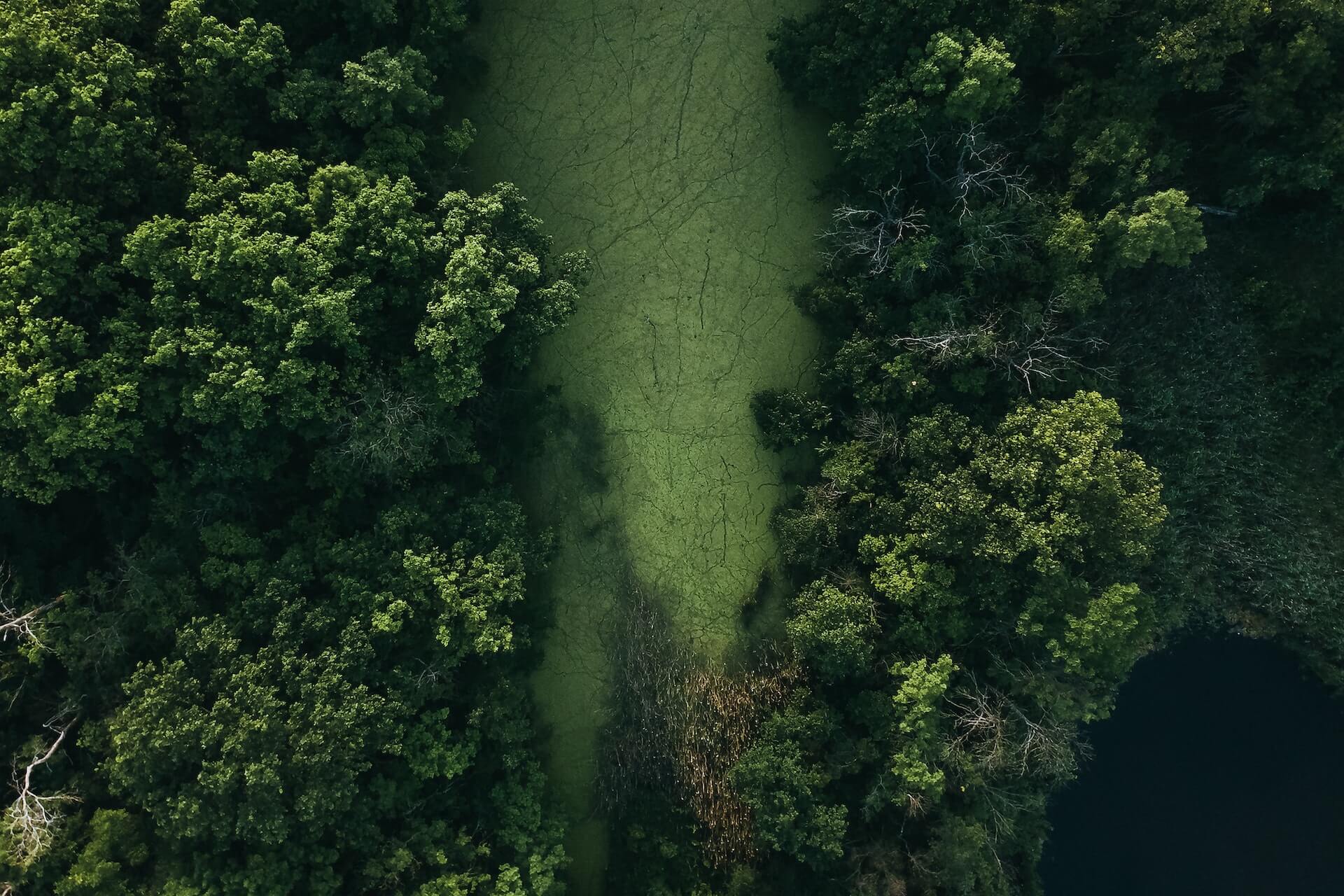
Biotopes are mapped after the respective cartographic codes for biotope types of the federal states. Furthermore all legal protected biotopes, habitat types as listed in Annex I in the FFH-Directive, land use and water structures are recorded.

Faunistic and floristic mapping

Faunistic and floristic mappings and surveys comprise all groups of species significant as indicators and are in accordance with the general methodological standards like HVA StB a.o.. In addition special surveys and expert opinions on present animals of Annex II/IV of the FFH-Directive or Annex I of the Directive on the Conservation of Wild Birds are conducted.

Contact Now

Examination examples

Bats

European Hamster

Amphibians and reptiles

Faunistic planning area analysis and other animal groups

Bats

In addition to the species spectrum, a survey of bats also provides for the recording of functional areas. This includes hunting areas, flight paths and all types of roosts (week roosts, summer, winter and courtship roosts).

The LaReG planning group conducts acoustic surveys of bats using batcorders, bat detectors, and various types of listening boxes. Net catches are made to verify the species inventory and for reproductive detection. For this purpose, we have a selection of different net types and lengths at our disposal in order to always be able to adapt the surveys to the local conditions. We use telemetry to answer specific questions about roost and habitat use. To check the necessity of shutdown times, nacelle monitoring is carried out at wind turbines using batcorder.

In the course of construction measures, endoscope cameras are used to inspect tree cavities, bridges and buildings for bat roosts.

Projektauswahl

Umweltverträglichkeitsstudie zum Ausbau der B 51 bei Fahrenhorst

» 2022, Landkreis Diephoz

HHBH Abschnitt Celle - Hannover - Variantenvergleich zum Ausbau

» 2021, Landkreis Celle

Landschaftspflegerischer Begleitplan für die Erneuerung der Stützwand Bismarckstraße

» 2021, Stadt Goslar

Bats

In addition to the species spectrum, a survey of bats also provides for the recording of functional areas. This includes hunting areas, flight paths and all types of roosts (week roosts, summer, winter and courtship roosts).

The LaReG planning group conducts acoustic surveys of bats using batcorders, bat detectors, and various types of listening boxes. Net catches are made to verify the species inventory and for reproductive detection. For this purpose, we have a selection of different net types and lengths at our disposal in order to always be able to adapt the surveys to the local conditions. We use telemetry to answer specific questions about roost and habitat use. To check the necessity of shutdown times, nacelle monitoring is carried out at wind turbines using batcorder.

In the course of construction measures, endoscope cameras are used to inspect tree cavities, bridges and buildings for bat roosts.

European Hamster

During the last 15 years surveys and measures on the protection of species for the severely protected European hamster took place in the Boerde areas of Lower Saxony and Saxony-Anhalt during the last ten years. Mappings of burrows on agricultural land are usually made in conjunction with planned building projects.

For the implementation of measures on protection of species (CEF-measures) a preliminary assessment of possible compensation sites with the inclusion of adequate management concepts. After conferral of admission in view of the protection of species legislation populations of the European hamster are often relocated accompanied by a monitoring for the control of success. The latter comprises the control of complience of the management conditions in collaboration with the farmers and the responsible nature conservation authorities. In scientific additional studies researches on the diet spectrum and the home range of tagged European hamsters. For this purpose telemetric equipment is available.

Projektauswahl

Umweltverträglichkeitsstudie zum Ausbau der B 51 bei Fahrenhorst

» 2022, Landkreis Diephoz

HHBH Abschnitt Celle - Hannover - Variantenvergleich zum Ausbau

» 2021, Landkreis Celle

Landschaftspflegerischer Begleitplan für die Erneuerung der Stützwand Bismarckstraße

» 2021, Stadt Goslar

European Hamster

During the last 15 years surveys and measures on the protection of species for the severely protected European hamster took place in the Boerde areas of Lower Saxony and Saxony-Anhalt during the last ten years. Mappings of burrows on agricultural land are usually made in conjunction with planned building projects.

For the implementation of measures on protection of species (CEF-measures) a preliminary assessment of possible compensation sites with the inclusion of adequate management concepts. After conferral of admission in view of the protection of species legislation populations of the European hamster are often relocated accompanied by a monitoring for the control of success. The latter comprises the control of complience of the management conditions in collaboration with the farmers and the responsible nature conservation authorities. In scientific additional studies researches on the diet spectrum and the home range of tagged European hamsters. For this purpose telemetric equipment is available.

Amphibians and reptiles

Surveys of the presence of amphibians comprise mappings in spawning waters as well as in summer habitats. Calling amphibians, tadpoles and spawn are recorded by inspection of the water bodies by day and illumination by night. For surveying and mapping newts traps are used.

The Planungsgemeinschaft LaReG has a wide experience in quantitative surveys of migration routes of amphibians by using drift fences. This takes place in the scope of the planning and function control of protective installations or monitoring.

Lizards and snakes are recorded via intensive searching which is supported by additionally installed hiding places.

For the implementation of measures on protection of species (CEF-measures) a preliminary assessment of possible compensation sites, e.g. for the installation of alternative spawning waters or relocation sites, takes place as a part of the concept for the protection of species. After conferral of admission in view of the protection of species legislation protection measures like installation of fences or relocations are implemented in the scope of the ecological construction supervision.

Projektauswahl

Umweltverträglichkeitsstudie zum Ausbau der B 51 bei Fahrenhorst

» 2022, Landkreis Diephoz

HHBH Abschnitt Celle - Hannover - Variantenvergleich zum Ausbau

» 2021, Landkreis Celle

Landschaftspflegerischer Begleitplan für die Erneuerung der Stützwand Bismarckstraße

» 2021, Stadt Goslar

Amphibians and reptiles

Surveys of the presence of amphibians comprise mappings in spawning waters as well as in summer habitats. Calling amphibians, tadpoles and spawn are recorded by inspection of the water bodies by day and illumination by night. For surveying and mapping newts traps are used.

The Planungsgemeinschaft LaReG has a wide experience in quantitative surveys of migration routes of amphibians by using drift fences. This takes place in the scope of the planning and function control of protective installations or monitoring.

Lizards and snakes are recorded via intensive searching which is supported by additionally installed hiding places.

For the implementation of measures on protection of species (CEF-measures) a preliminary assessment of possible compensation sites, e.g. for the installation of alternative spawning waters or relocation sites, takes place as a part of the concept for the protection of species. After conferral of admission in view of the protection of species legislation protection measures like installation of fences or relocations are implemented in the scope of the ecological construction supervision.

Faunistic planning area analysis and other animal groups

The faunistic planning area analysis defines the project-specific impact factors and identifies the species groups relevant to planning in advance of the in-depth investigations of a project. The study areas are defined on the basis of the natural conditions and existing documents, and the study methodology is determined.

Projektauswahl

Umweltverträglichkeitsstudie zum Ausbau der B 51 bei Fahrenhorst

» 2022, Landkreis Diephoz

HHBH Abschnitt Celle - Hannover - Variantenvergleich zum Ausbau

» 2021, Landkreis Celle

Landschaftspflegerischer Begleitplan für die Erneuerung der Stützwand Bismarckstraße

» 2021, Stadt Goslar

Faunistic planning area analysis and other animal groups

The faunistic planning area analysis defines the project-specific impact factors and identifies the species groups relevant to planning in advance of the in-depth investigations of a project. The study areas are defined on the basis of the natural conditions and existing documents, and the study methodology is determined.

Bats

European Hamster

Amphibians and reptiles

Faunistic planning area analysis and other animal groups

IMG

New checklist-section!

  • breeding and migratory birds

  • mammals

  • bats

  • European hamster

  • amphibians

  • reptiles

  • fish

  • dragonflies

  • ground beetles

  • xylobiontic beetles

  • locusts

  • butterflies and moths

  • macrozoobenthos (limnic and marine)

Can we assist you?

Contact us Now

Contact us